
Located in Alice Springs, Central Australia
Distances in Central Australia
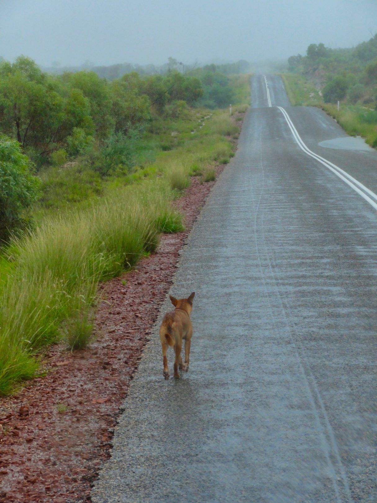
The area to explore in Central Australia is vast...
"Whilst Alice Springs is the closest town to every beach in Australia..."
Whilst Alice Springs is the closest town to every beach in Australia… the distances can be considerable… and when locals and outback people talk about ‘just down the road’… the distance could be many hundred of kilometres…
Following are approximate distances by road from Alice Springs to local and regional attractions:
Distances given are only approximation, they should be verified with the appropriate maps.
Alice Springs Distances
Menu
Menu
Menu
Menu
Menu
Menu
Interstate Distance to Alice Springs
Menu
All photos by © Ausemade Pty Ltd
